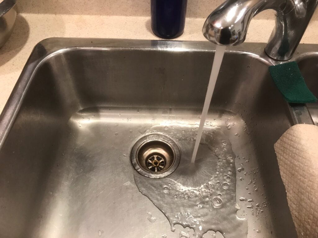
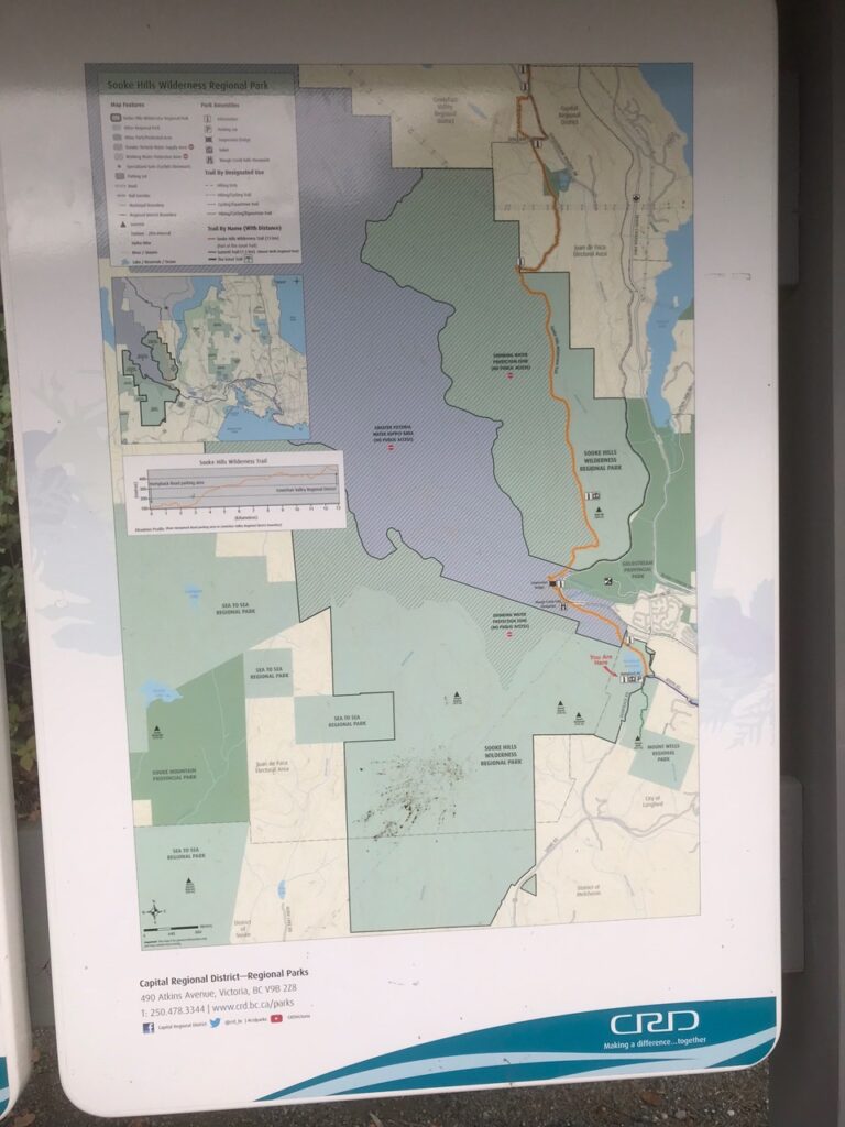
Have you ever wondered where your tap water comes from? Have you pondered the route it takes to get to your sink? These questions spurred my latest backyard adventure, following the water that comes out of my tap as far as I could on my bicycle. On lək̓ʷəŋən territories in the City of Victoria, our water comes from the Sooke Lake Reservoir which lies within the Sooke Hills Wilderness Regional Park.
Greater Victoria Water Supply System Map
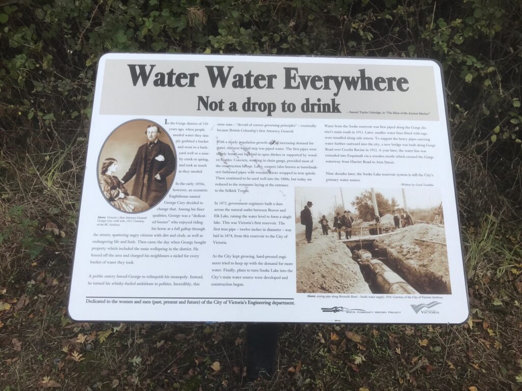
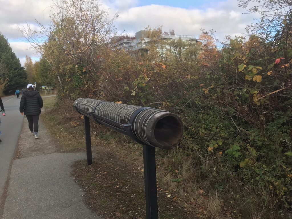
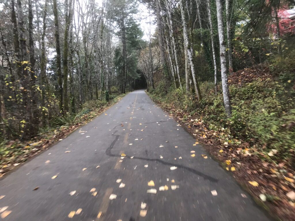
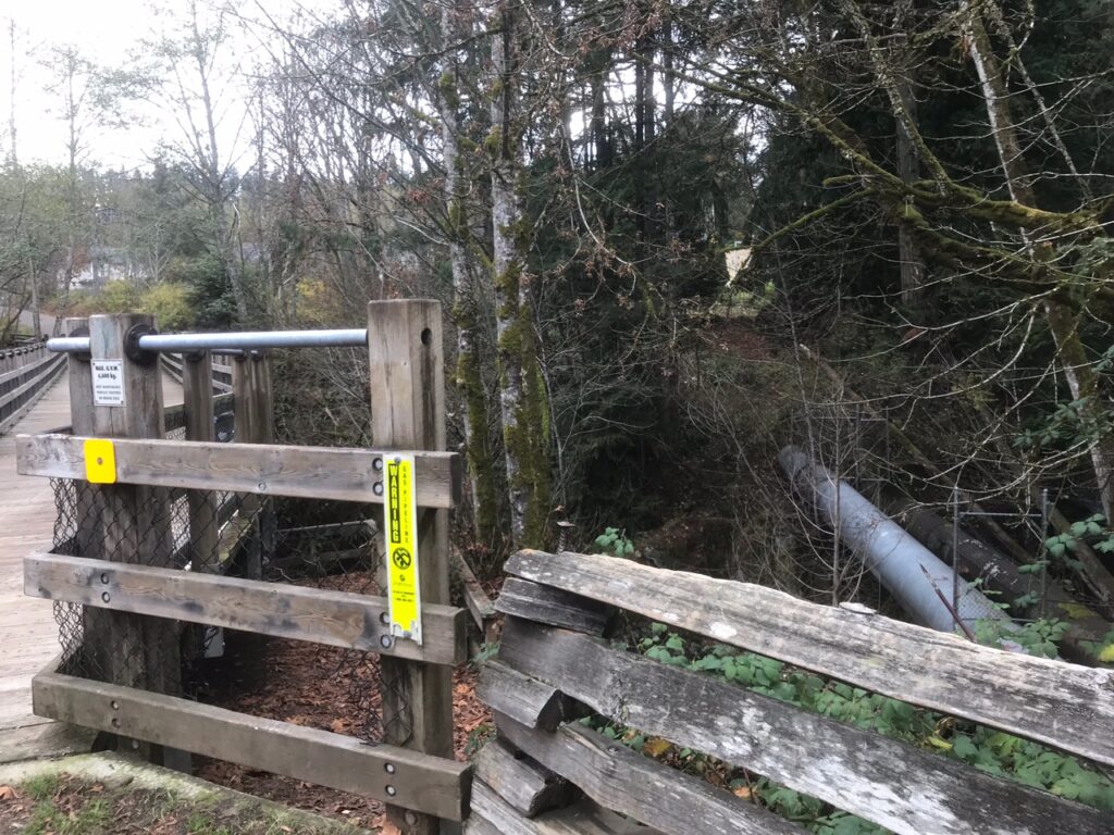
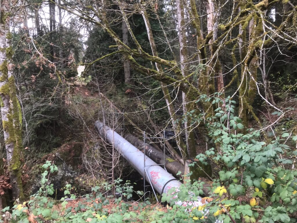
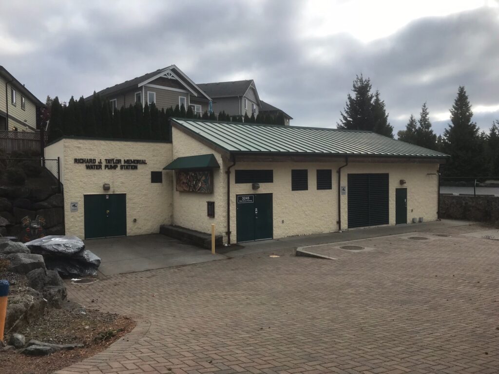
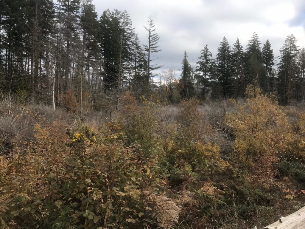
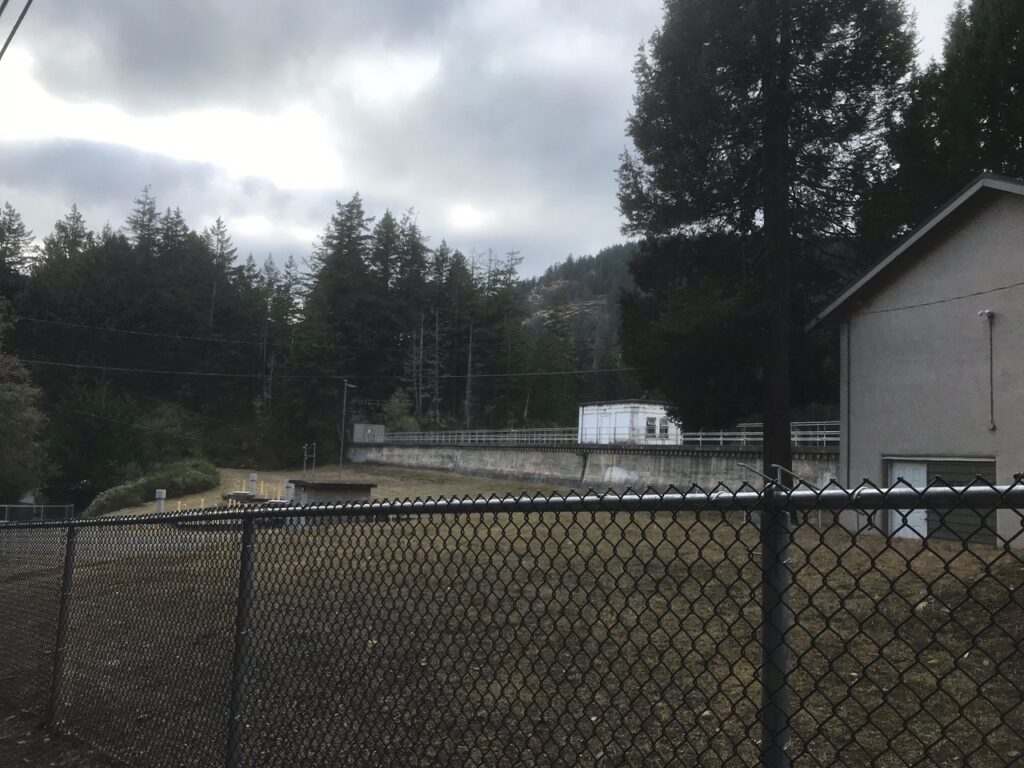
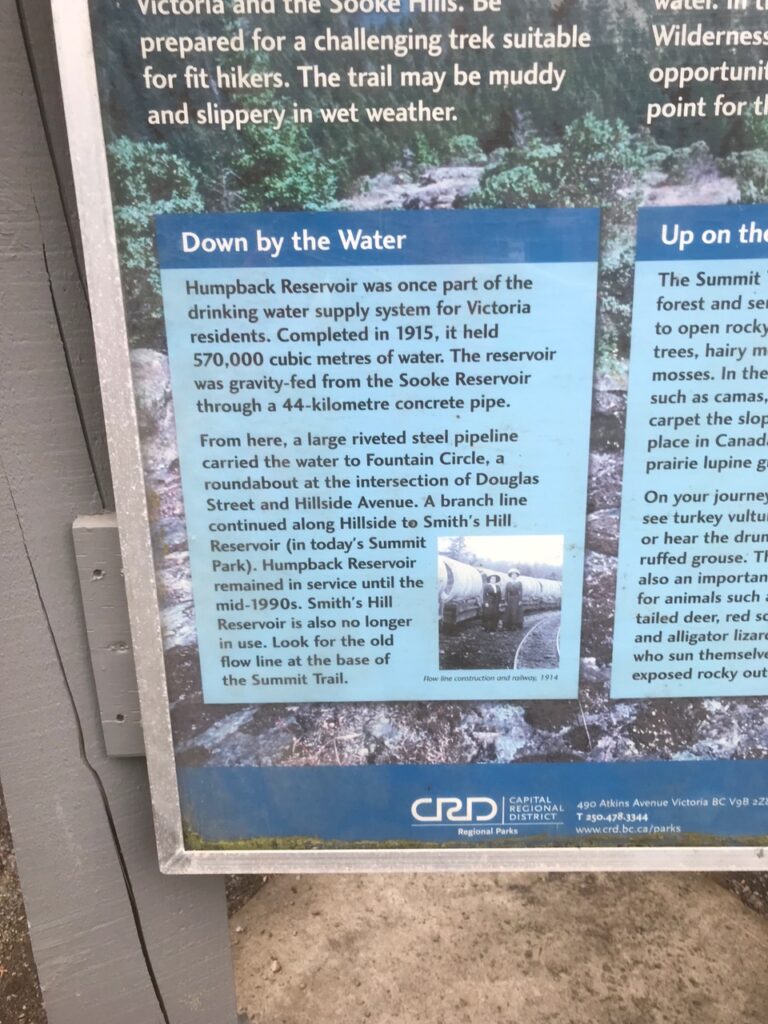
It’s not possible to bike all the way to the Sooke Reservoir because the Greater Victoria Water Supply Area, which surrounds it, is not open to the public. Instead, I rode my bike to the Humpback Reservoir, which lies at the entrance to the Greater Victoria Water Supply Area, and which used to be a part of the water supply system. This also happens to be where the main water line that feeds my tap branches off. I tried to follow the route of the water line as closely as I could. Conveniently, the route that this main water line takes happens to be close to the Galloping Goose Trail, so I was able to stay on a separated paved bike path most of the ride. Along the way, I took photos of the route and some of the infrastructure that transports our tap water.
Tap Water from Sink to Source: A Photo Essay
Leave a Reply
You must be logged in to post a comment.